Echo Canyon Loop Trail
Chiricahua National Monument • Arizona


The Echo Loop Trail, often called the Echo Canyon Loop, is one of the best ways to experience the heart of Chiricahua National Monument’s “Wonderland of Rocks.” This moderate loop takes you through narrow rock corridors, shaded grottoes, and wide-open views filled with towering pinnacles and balanced rocks.
This is a trail that rewards patience. Instead of a single destination, the experience builds gradually as the landscape shifts around you—sometimes open and expansive, sometimes tight and intimate.
Trail Overview
- Distance: ~3.4 miles (loop)
- Elevation Change: ~560 feet
- Difficulty: Moderate
- Trail Type: Loop
- Typical Time: 2–4 hours
Getting to the Trailhead
The Echo Loop Trail begins at the Echo Canyon parking area, reached by driving the paved Bonita Canyon Road through Chiricahua National Monument. The drive itself is scenic, climbing through oak, pine, and cypress forests.
Parking and pit toilets are available near the trailhead, but there is no water. During busy seasons, especially late winter and spring, the lot can fill quickly.
Hiking the Trail
Most hikers choose to hike the loop counterclockwise, starting down the Echo Canyon Trail. This direction offers a more comfortable descent and saves the sustained climb for the end.
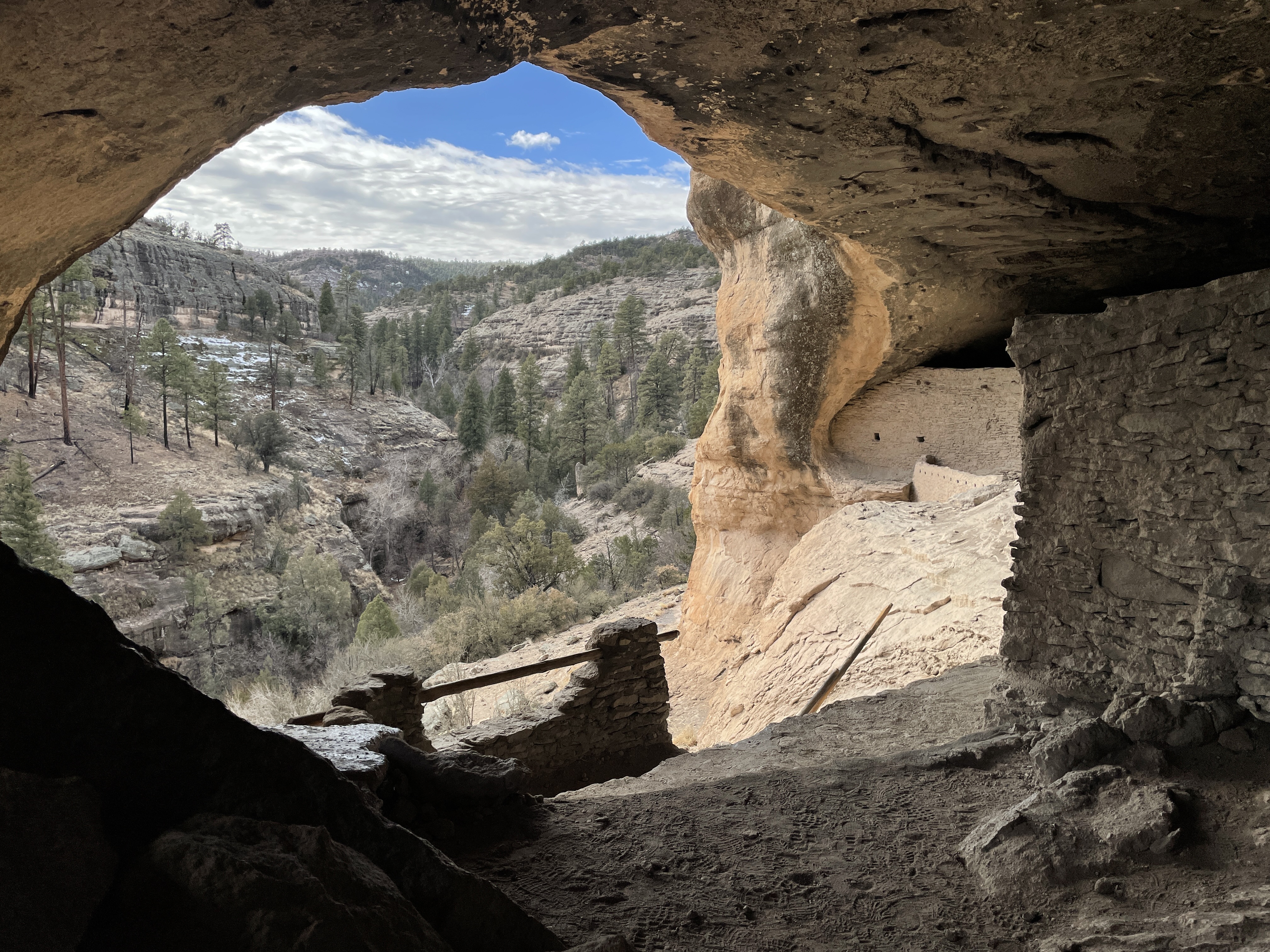
The descent into Echo Canyon is immediate and immersive. Towering rhyolite pinnacles rise on both sides as the trail winds through narrow passages and shaded rock corridors. One of the highlights is the Grottoes—tunnel-like openings carved into the rock.
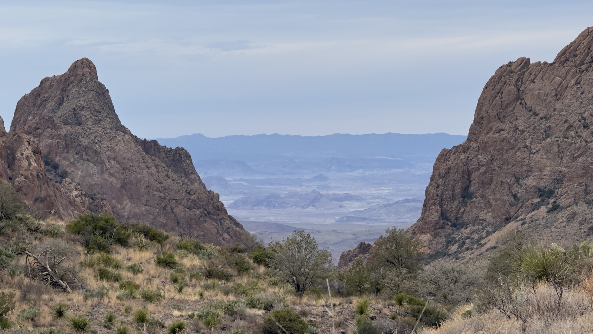
The loop then transitions to the Hailstone Trail, where views open across the Wonderland of Rocks and desert plants like yucca, agave, and cactus thrive on sunnier slopes. The final leg follows the Ed Riggs Trail, climbing steadily back toward the trailhead.
Trail Map

Highlights Along the Way
- Narrow canyon corridors surrounded by rock pinnacles
- The Grottoes and tunnel-like formations
- Wide views across the Wonderland of Rocks
- Changing vegetation from desert plants to forested sections
History & Context
The landscape at Chiricahua was shaped by massive volcanic eruptions millions of years ago, followed by long periods of erosion. Much of the trail infrastructure was built by the Civilian Conservation Corps in the 1930s, whose stonework still guides visitors through this rugged terrain.
What Makes This Trail Special
What sets the Echo Loop Trail apart is how immersive it feels. Rather than viewing formations from a distance, you walk directly among them—sometimes in wide-open views, other times in narrow passages where the rocks rise on both sides.
Tips for Visiting
- Wear sturdy hiking shoes with good traction
- Bring plenty of water; none is available on the trail
- Morning and late afternoon offer cooler temperatures
- Expect uneven footing and occasional exposure near drop-offs
Watch the Trail on Tuesdays on the Trail
We hiked the Echo Loop Trail as part of our visit to Chiricahua National Monument and featured it on Tuesdays on the Trail, walking through the loop and sharing what it’s like to experience the Wonderland of Rocks on foot.
Coming March 17, 2026
Final Thoughts
The Echo Loop Trail offers one of the most complete trail experiences at Chiricahua National Monument. In just a few miles, it captures the variety, scale, and quiet wonder that define this remarkable landscape.
Explore More with Tezels on the Road
Find more trail guides, videos, and travel stories from our journeys through national parks and public lands.