
RANGER PAMPAW’S GUIDE
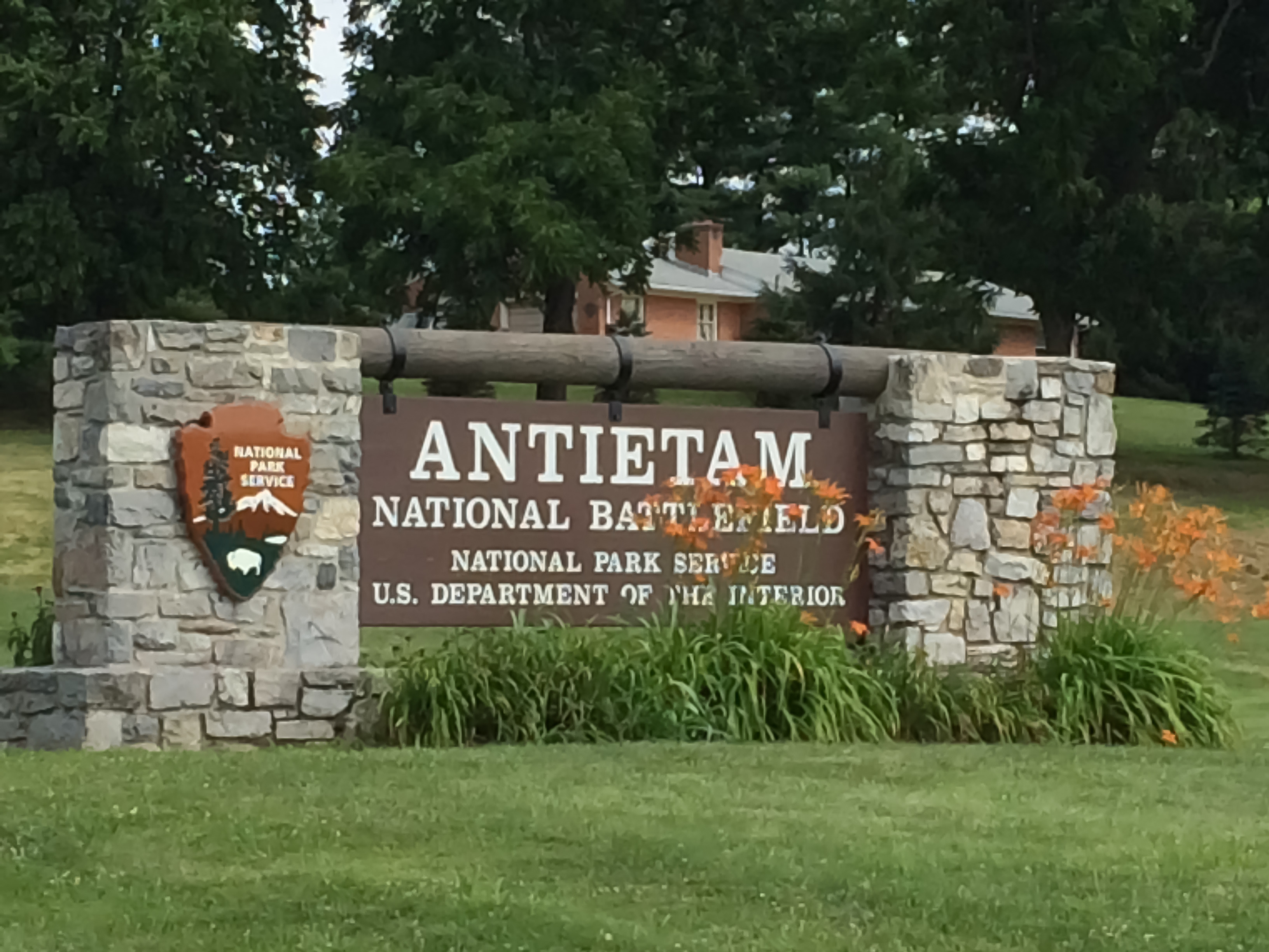
Antietam National Battlefield
America’s Bloodiest Day — and the Morning That Changed Everything


▶ A Note from Ranger PamPaw
“There are places in this country where the ground itself seems to carry the weight of what happened there. Antietam is one of those places.”
September 17, 1862. A single day. More than 22,000 soldiers killed, wounded, or missing before the sun went down. The numbers alone are staggering — but the numbers don’t tell you what it felt like to walk those farm fields, to stand at Burnside Bridge and understand what it cost to cross it, or to look out over the Cornfield and try to comprehend what those men endured in less than three hours.
What makes Antietam different from most Civil War sites is how well it has been preserved. The landscape is remarkably intact. The farm fields, the sunken road, the creek crossings — they are still there, still recognizable. When you walk this ground, you are not imagining a battle. You are standing on it. That kind of connection to history is rare, and it deserves your full attention.
And then there is the bigger picture. The tactical outcome at Antietam was a draw. But it gave Lincoln the military footing he needed to issue the Emancipation Proclamation. The fate of slavery in America — and with it the soul of the Republic — turned on this one terrible day in a Maryland farm country. Go slowly when you visit. This place has earned it.
— Ranger PamPaw
▶ Quick Facts
| Location | 5831 Dunker Church Road, Sharpsburg, MD 21782 · Washington County, western Maryland |
| Established | 1890 — one of the first four national military parks established by Congress |
| Size | 3,230 acres of preserved battlefield, farmland, and river corridor |
| Admission | $10 per person (ages 16+); Annual Pass and America the Beautiful Pass accepted · Free for ages 15 and under |
| Visitor Center | Open daily 9 a.m. – 5 p.m. (extended summer hours) · Closed Thanksgiving, Christmas, and New Year’s Day |
| Phone | (301) 432-5124 |
| Park Drive | 8.5-mile self-guided auto tour with 11 marked stops — audio tour available via the NPS App |
| Trails | Approximately 8.5 miles of maintained hiking trails; mostly flat to gently rolling |
| Pets | Leashed pets permitted on all trails and in picnic areas; not permitted inside buildings |
| Nearby Parks | Harpers Ferry NHP (15 mi.), Monocacy NB (25 mi.), C&O Canal NHP (adjacent) |
▶ The Battle
Maryland Campaign, September 1862
By the summer of 1862, Robert E. Lee had driven Union forces from the Virginia Peninsula and routed a Federal army at Second Bull Run. Sensing an opportunity to shift the war onto Northern soil — and perhaps earn British and French diplomatic recognition for the Confederacy — Lee led his Army of Northern Virginia across the Potomac into Maryland in early September.
A stroke of extraordinary luck changed the campaign’s trajectory. Union soldiers discovered a copy of Lee’s operational orders — Special Orders No. 191 — wrapped around three cigars in a Maryland field. The document revealed that Lee had divided his army. General George B. McClellan, commanding the Army of the Potomac, knew exactly where Lee’s forces were scattered. He had the chance to destroy them piecemeal. He moved — but not fast enough.
Lee managed to reunite most of his army near Sharpsburg, Maryland, with his back to the Potomac River. On September 17, McClellan attacked. The battle that followed was not a model of Federal coordination — attacks came piecemeal across three separate sectors of the field — but the fighting was savage at every point of contact.
Three Phases, One Day
The battle unfolded in three overlapping phases across the landscape you can still walk today:
- The North Woods and the Cornfield (Morning): Fighting began around dawn in the East Woods and the 30-acre cornfield owned by farmer David Miller. Units charged and countercharged across the same ground repeatedly. In roughly two hours, approximately 8,000 men fell in and around that cornfield alone. Union General Joseph Hooker later wrote that the corn was cut as closely as could have been done with a knife — by musket fire.
- Bloody Lane (Midday): A sunken farm road in the center of the Confederate line — worn down by years of wagon traffic — became a natural rifle trench. Confederate soldiers held it for nearly four hours against wave after wave of Union assaults. When it finally fell, the road was so choked with Confederate dead that witnesses said you could walk its length without stepping on the ground. History named it Bloody Lane.
- Burnside Bridge (Afternoon): On the Union left, General Ambrose Burnside spent most of the day trying to cross a narrow stone bridge over Antietam Creek — defended by just a few hundred Georgia sharpshooters on the bluffs above. His forces finally crossed in the early afternoon and pushed toward Sharpsburg — only to be driven back by A.P. Hill’s Confederate division, which arrived at the last moment after a 17-mile forced march from Harpers Ferry.
When darkness fell, both armies held roughly the positions they had started with. More than 22,700 soldiers were killed, wounded, or missing. Lee retreated across the Potomac the following night. McClellan did not pursue.
▶ The Larger Meaning
The Emancipation Proclamation
Abraham Lincoln had been waiting for a Union military victory. He had drafted the Emancipation Proclamation months earlier but was advised not to issue it after a string of Federal defeats — it would look like an act of desperation. Antietam gave him the opening he needed.
Five days after the battle — on September 22, 1862 — Lincoln issued the preliminary Emancipation Proclamation, declaring that all enslaved persons in states still in rebellion would be “forever free” as of January 1, 1863. The final proclamation followed on New Year’s Day.
The political impact was immediate and far-reaching. It reframed the war’s purpose — from a conflict to preserve the Union into a crusade to end slavery. It made it nearly impossible for Britain or France to formally recognize the Confederacy, as both countries had abolished slavery and could not be seen siding with a slaveholders’ rebellion. And it opened the door for nearly 180,000 Black soldiers to serve in the Union Army, a force that would prove decisive in the war’s final years.
Antietam was not the end of anything. Terrible battles lay ahead. But the direction of the war — and the nation — shifted in those Maryland farm fields on September 17, 1862. That is why this ground matters.
▶ Touring the Battlefield
Start at the Visitor Center
The Henry Kyd Douglas Visitor Center should be your first stop. The museum inside provides essential context — particularly if you’re not already familiar with the Maryland Campaign. The 26-minute film Antietam Visit is well-produced and highly recommended before you head out onto the field. Rangers are available to answer questions and can help you prioritize based on your available time.
The 8.5-Mile Auto Tour
The self-guided driving tour follows the battle’s progression through 11 numbered stops, beginning at the Dunker Church and moving generally from north to south. Allow at least two hours if you plan to get out of your car at the major stops — longer if you want to walk any of the trails. The NPS App includes a free audio tour keyed to each stop.
- Stop 1 — Dunker Church: The white-washed brick church of the German Baptist Brethren (a pacifist sect) became a landmark for both armies and changed hands several times during the battle. The restored building is a quiet, powerful place to begin.
- Stop 2 — North Woods / The Cornfield: The open farmland where the battle’s first and most ferocious fighting erupted at dawn. A walking trail crosses the Cornfield and connects to the East and West Woods.
- Stop 5 — Bloody Lane (Sunken Road): Walk the entire length of the sunken road — about a quarter mile. The observation tower at the east end provides a sweeping view of the central battlefield that is essential for understanding the day’s middle phase.
- Stop 9 — Burnside Bridge: The three-arched stone bridge over Antietam Creek is one of the most photographed sites in the National Park System. A short loop trail takes you across the bridge and up to the Georgia sharpshooters’ firing positions on the bluffs — an eye-opening perspective on why those few hundred Confederates were able to hold it for hours.
- Antietam National Cemetery: Located at the north end of the tour, the cemetery holds the remains of more than 4,700 Union soldiers. A solemn and important stop. (Confederate dead were largely buried in local church cemeteries and in Hagerstown’s Rose Hill Cemetery.)
▶ Trails & Walking Routes
Antietam offers approximately 8.5 miles of maintained foot trails. The terrain is mostly flat to gently rolling Maryland farmland — accessible for most visitors. Several trails connect directly to auto tour stops, making it easy to combine driving and walking.
- Cornfield / North Woods Trail (approx. 1.5 mi.): Loops through the East Woods, the Cornfield, and the North Woods. Interpretive markers throughout. Best done in the morning when the light across the open fields is extraordinary.
- Bloody Lane Trail (approx. 0.5 mi.): Follows the sunken road from Mumma Farm to the observation tower. Short, flat, and historically dense — don’t skip it.
- Burnside Bridge Trail (approx. 1.3 mi.): Loops from the bridge parking area across Burnside Bridge, up to the Confederate bluff positions, and returns along Antietam Creek. The creek-side section is particularly pleasant in spring and fall.
- Final Attack Trail (approx. 1.75 mi.): Traces the route of A.P. Hill’s division and Burnside’s late-afternoon advance. Less visited than the northern trails and a good choice for those who want a quieter walk.
▶ Know Before You Go
- No food or gas inside the park. The town of Sharpsburg (immediately adjacent) is very small. Hagerstown, about 12 miles north, is the best base for dining, lodging, and services. Shepherdstown, WV (just across the Potomac) is a charming alternative with good restaurants and lodging.
- September 17 is the battle’s anniversary. The park holds commemorative programs each year around the anniversary. It is also one of the busiest days of the year — plan accordingly.
- Summer heat is real. There is almost no shade on the open battlefield. Bring water, wear sunscreen, and consider an early morning visit in July and August.
- Ranger-led programs run seasonally. Walking tours of the Cornfield, Bloody Lane, and Burnside Bridge are offered on weekends from spring through fall. Check the park’s website or the NPS App for current schedules.
- The C&O Canal towpath is adjacent to the park. The Chesapeake & Ohio Canal NHP runs along the Potomac River at the park’s southern edge. A short connector trail links the two sites — a worthwhile add-on for hikers and cyclists.
- Photography. Dawn and dusk light on the open fields and Burnside Bridge are exceptional. The Cornfield in early morning mist is one of the most evocative landscapes on any Civil War battlefield.
Why This Place Matters
September 17, 1862 was the single bloodiest day in American military history — before or since. That fact alone demands our attention. But Antietam’s significance runs deeper than the casualty count.
Lee’s first invasion of the North failed here. British intervention on behalf of the Confederacy — which had seemed plausible just weeks earlier — became politically untenable. And Lincoln found his moment. Without Antietam, the Emancipation Proclamation may never have been issued — or at least not when it was, in the form it took, with the impact it had.
The battlefield is also a testament to preservation. Much of what you see today — the fields, the roads, the bridge, the church — survives in something close to its 1862 condition. That kind of landscape integrity is increasingly rare and genuinely fragile. It is worth protecting, and it is worth visiting with the care and attention it deserves.
Park Map

▶ First Encounters
▶ Resources & Further Reading

Hear the Story on the Ranger PamPaw Podcast
Parks, perspective, and stories earned from a lifetime in the National Parks — from someone who was actually there. The Ranger PamPaw Podcast goes deeper on the history, the landscape, and the meaning behind the places that define America.
Leave a Reply